I wanted to share a project that absorbed me this winter as I enrolled in a Certificate Program for Geographic Information Systems (GIS) to begin 2023. As the final project for my introduction to GIS, I created a StoryMap by way of ESRI’s online StoryMap software application. StoryMaps offers a unique visual storytelling format that dovetails with my previous storytelling work in Acting and Voice Acting, and it thrills me to use the language of GIS on behalf of Redwood conservation.
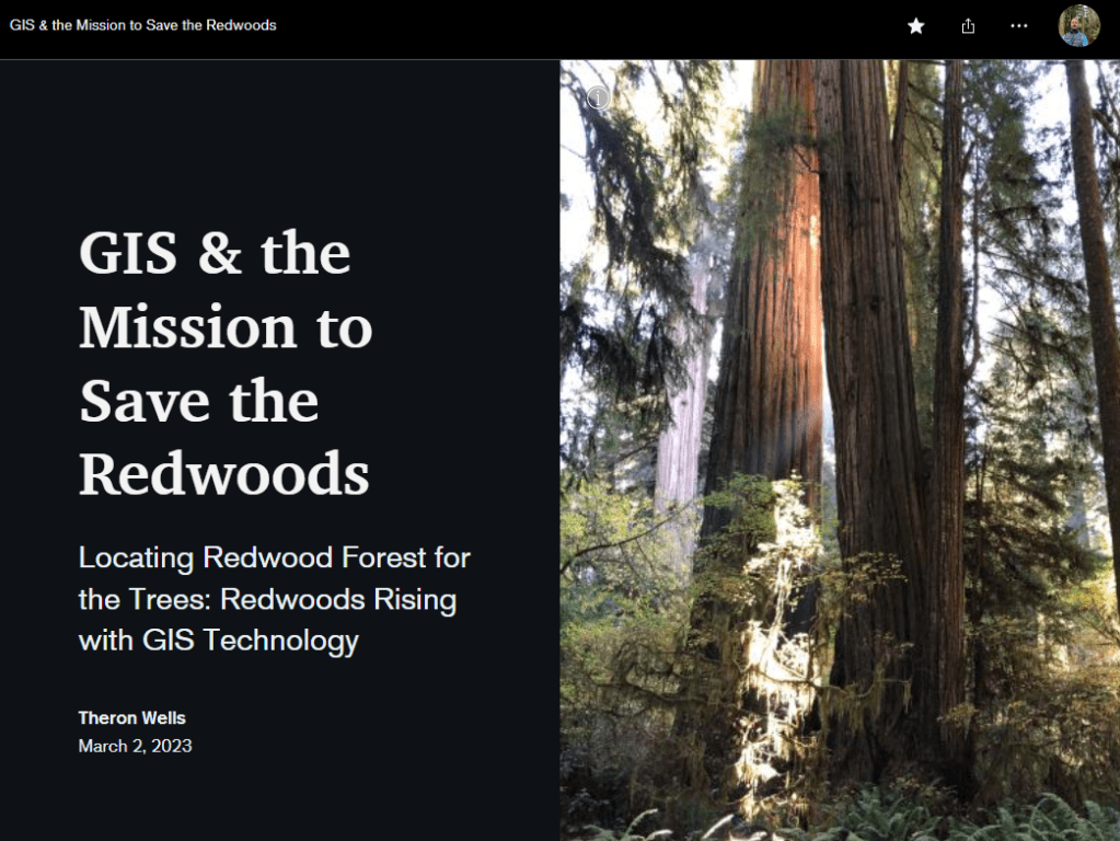
Considering the connection I still feel to the redwoods that drew me out West from Alabama in 1995, I wanted to refocus my attention to the progress GIS had offered redwood conservation since I had worked for the Save-the-Redwoods League in the late 1990’s. As I researched, I was very pleased to note the considerable progress that the Save-the-Redwoods League had made using the technology since our mutual introduction at the ESRI conference in 1997. Although I had stepped away from my work in the field with a spinal injury in 1998, geospatial technological advances have significantly empowered the League’s long term acquisition and restoration strategies ever since with greater focus and perspective. Through simultaneous visual display of the interstices of multiple stakeholder values, GIS offers the SRL and its partners realizable potential for a landscape scale redwood forest habitat conservation plan. See how below….
https://storymaps.arcgis.com/stories/9319896d9e654d8090e07e21c7c84b1a
Hope you like it!
